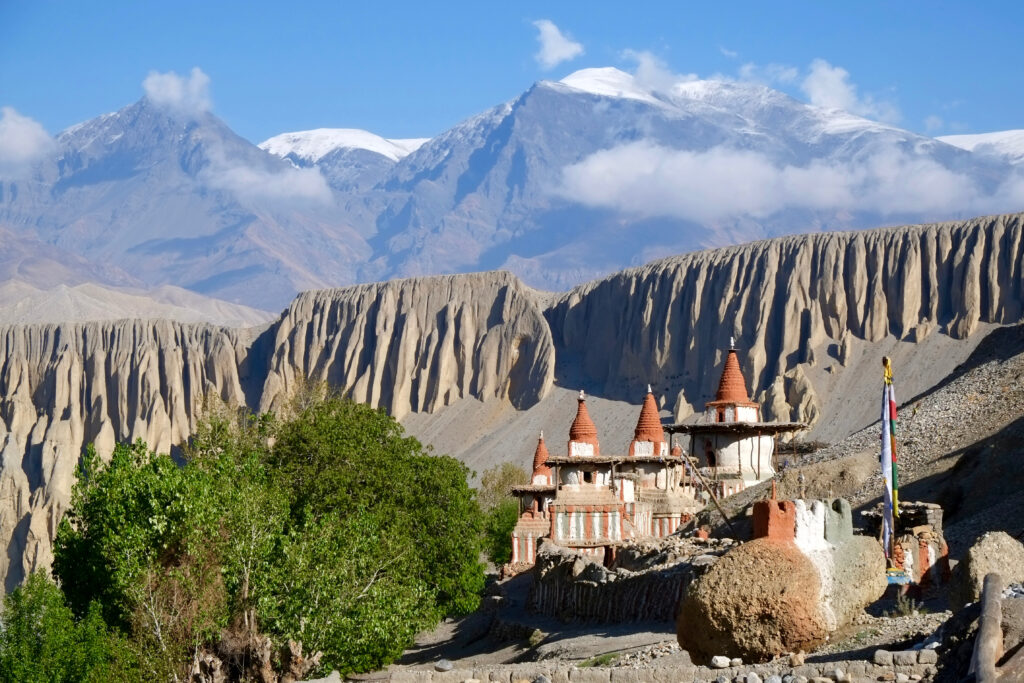
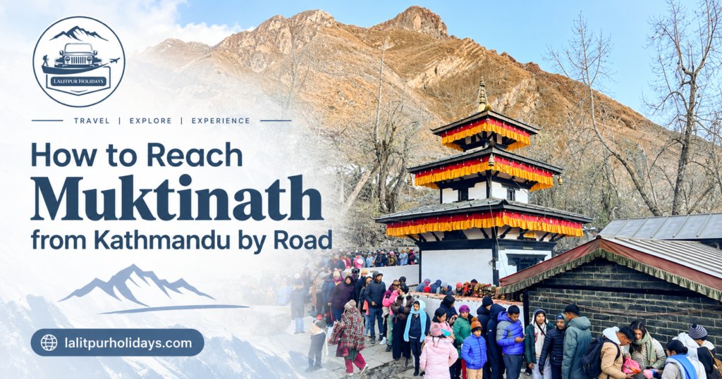
Muktinath can be reached entirely by road from Kathmandu. The general route runs from Kathmandu to Pokhara to Beni, then follows the Kali Gandaki corridor up through Jomsom and Kagbeni to Muktinath. The road changes a lot along the way. It starts as a wide highway and slowly turns into a narrower mountain road once you pass Beni. Because of this, travel time is never fixed. It depends on traffic, weather, roadwork and how many stops you take. Flights to Pokhara and Jomsom are also possible, but this guide focuses only on the full road journey, section by section, so you know what to expect before you leave Kathmandu and how to reach Muktinath from Kathmandu. Quick Summary Quick Facts: Kathmandu to Muktinath by Road Travel Question Quick Answer Can you reach Muktinath by road? Yes. Road access normally continues from Kathmandu to the Muktinath area, subject to current road and weather conditions. Main route Kathmandu → Pokhara/Beni → Jomsom → Kagbeni → Muktinath Main mountain-road section Beni to Jomsom (Kali Gandaki corridor) Final approach Jomsom → Kagbeni → Muktinath/Ranipauwa Road type Highway, then changing mountain-road sections Muktinath altitude About 3,800m Travel-time note Varies widely; treat it as a 1.5–2 day journey, not a single fixed number Main causes of delay Traffic, roadwork, weather, landslides, stops What Is the Road Route from Kathmandu to Muktinath? The road route follows one main chain of places. Understanding this chain helps you understand why the journey feels different in each part. Kathmandu → Pokhara/Beni → Tatopani/Rupse → Ghasa/Lete → Marpha → Jomsom → Kagbeni → Ranipauwa/Muktinath From Kathmandu, the road follows the Prithvi Highway through Mugling toward Pokhara, then continues to Beni. Beni is the point where the journey changes character. Past Beni, the road follows the Kali Gandaki River north through Mustang, climbing steadily until it reaches Jomsom, Kagbeni and finally Muktinath. This is the practical shape of the journey, and each section behaves differently on the road, which is why the next part of this guide breaks it down piece by piece. Kathmandu to Muktinath Road Conditions: Section by Section Road conditions are not the same for the whole trip. Splitting the journey into sections gives a much clearer, more honest picture than a single overall description. Kathmandu to Pokhara and Beni: The Highway Approach This part of the journey runs on Nepal’s main highway network. The road is generally wider and busier than anything that comes later. Expect regular traffic, especially near Kathmandu Valley and around Mugling, a common bottleneck point where several highways meet. Roadworks and short landslide-related delays can happen here too, particularly during and after monsoon rain. Even so, this stretch is far more predictable than what follows Beni. Delays here are usually about traffic and time, not about whether the road is passable at all. Beni to Tatopani, Rupse and Ghasa: Where the Mountain Road Takes Over After Beni, the road follows the Kali Gandaki corridor, and this is where road character changes the most. The Beni-to-Jomsom section is around 76 km. It is part of the wider Beni–Jomsom–Korala road. Road improvement work is still taking place on parts of this route. Some sections are narrower and rougher than the highway before Beni. Rain-sensitive spots, particularly around the Mahabhir in Myagdi, are known for occasional landslides during heavy rainfall, and short closures can happen while road crews clear debris. Rupse Waterfall and Tatopani are useful landmarks along this stretch. Weather and roadwork can slow this part of the trip. Travel time is less predictable here than on the main highway. Ghasa to Marpha and Jomsom Past Ghasa and Lete, the landscape shifts quickly. You move out of greener hill country and into the drier, wind-shaped terrain of Mustang. Marpha is a well-known stop along this stretch, sitting right on the route rather than off to one side. Jomsom follows soon after. It works as the main transport and service hub for this part of Mustang, with fuel, food and vehicle support available before the final stretch to Muktinath. Jomsom to Kagbeni The road from Jomsom to Kagbeni continues to follow the Kali Gandaki valley. Wind can become stronger later in the day around Jomsom and Kagbeni, so check local weather conditions when planning this section. Kagbeni itself sits at an important point on the route, close to where the Upper Mustang restricted area begins. Because this section sits at higher altitude and is exposed to wind and seasonal weather, it is worth checking current road status before you plan a fixed schedule through here. Kagbeni to Muktinath / Ranipauwa This is the final climb. The road gains more altitude in a short distance, and weather can shift quickly at this height. Vehicles can reach close to Ranipauwa, the settlement nearest the temple, with a short walk remaining to reach Muktinath Temple itself. Because this is the highest section of the whole journey, cold, wind and short-notice weather changes matter more here than anywhere else on the route. Road-Condition Comparison: Kathmandu to Muktinath by Section Road Section General Character Main Variables Traveller Implication Kathmandu → Beni Highway travel Traffic, roadwork Build in schedule buffer Beni → Ghasa Mountain corridor Rain, landslides, roadwork Check current status before travel Ghasa → Jomsom Mountain road, drier terrain Surface condition, weather Travel time can vary Jomsom → Kagbeni High Mustang road Wind, weather Check wind and weather conditions Kagbeni → Muktinath Final high-altitude approach Weather, season Confirm access close to your travel date How Long Does It Take to Reach Muktinath from Kathmandu by Road? Published travel times vary because operators measure the journey differently and road conditions are not always the same. A direct, non-stop driving estimate is very different from a realistic tourist journey with meal breaks, rest stops, photo stops and an overnight halt. For a more practical road trip, travellers often allow about 1.5 to 2 days rather than trying to complete the journey in one long drive. Traffic near Kathmandu and Mugling, roadwork after Beni,
 Babarmahal-11, Kathmandu (Near King's College)
 9869730777 | 9709139250 | 9709139260
 lalitpurholidays@gmail.com
 WhatsApp